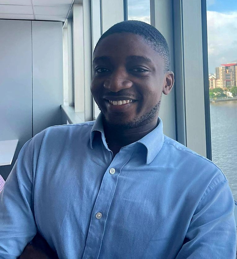
Team Member

Uchenna Samuel Nwosu

Geophysicist & Geospatial Analyst

Uchenna Samuel Nwosu is a seasoned Geoscientist and Geospatial Research Analyst currently serving at GIS Grand Master Co. Limited specializing in the intersection of hydrology, geomorphology, and water disaster resilience, Uchenna plays a pivotal role in the firm’s technical operations. He holds a B.Tech in Geology (Geophysics option) from the Federal University of Technology, Owerri, providing him with a rigorous foundation for groundwater prospecting and subsurface investigations.

Back to Team
Core Expertise

As a key member of the GIS Grand Master team, Uchenna integrates his geophysical background with advanced geospatial data analysis to address complex environmental challenges. His current work focuses on:

  1. Flood Risk Mitigation: Developing high-precision flood risk maps and predictive monitoring models.
  2. Disaster Risk Reduction: Designing frameworks to enhance urban flood management and community resilience.
  3. Geophysical Exploration: Applying subsurface techniques for groundwater prospecting and site characterization.
Project Highlights

Uchenna has been instrumental in several of the company’s flagship projects, including extensive flood risk mapping across Anambra and Ado-Ekiti. His ability to leverage QGIS and remote sensing techniques has been vital in publishing research on erosion risk, groundwater quality, and flood characterization.

Commitment to Sustainability

Beyond his technical contributions, Uchenna is deeply committed to environmental sustainability and community service. He continues to champion environmental health through his past and present volunteer work with the Red Cross and SustyVibes, leading awareness projects and local clean-up campaigns.